Pench Tiger Reserve Maharashtra declared as National park in 1975 and tiger reserve in 1999 is home to more than 40 tigers and many species of endangered flora and fauna. In order to improve the status of conservation of the reserve and preserve its outstanding resources, it was necessary to carry out complete survey and demarcation of the boundary. In case of the no clear cut boundary, it becomes very hard for the frontline staff to patrol the area, control encroachment and prevent any illegal activities such as tree felling or mining.
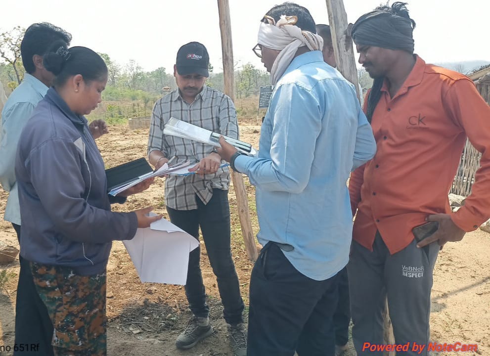
In its bid to completely survey the boundary of the Tiger Reserve, departmental surveyor and hired surveyor were employed. In addition to departmental maps, additional maps were procured from TLR offices. Before survey in village, meeting was organised in each village to make people understand about the procedural part seeking their support. Survey work continued for one and half year.
Total 39 villages area there in buffer ranges namely Nagalwadi and Paoni UC ranges of Pench buffer. Survey was carried out in 58 villages as many of the villages from Territorial Forest Division falling on the boundary of tiger reserve were also surveyed. Total 660 km of boundary was surveyed. To make survey work permanent, boundary demarcation was carried out from the fund support of Sate fund and CAMPA (Compensatory Afforestation Fund Management and Planning Authority). Total 4277 class1 and 3231 class 2 pillars were erected during boundary demarcation. During this process, more than 50 ha encroachment were also removed. All the pillar location has been digitized and placed on the boundary map of the Pench for future references.
Paoni UC RFO Shri Jayesh Tayade and Nagalwadi RFO Shri Praveen Lele have played very crucial role in survey and demarcation exercise.
👉 Click here to read the latest Gujarat news on TheLiveAhmedabad.com


