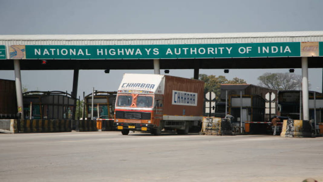
The Ministry of Road Transport and Highways is preparing to roll out a cutting-edge Global Navigation Satellite System (GNSS)-based toll collection system on certain national highways, as announced by Union Minister Nitin Gadkari in a written response to the Rajya Sabha.
This innovative initiative will operate with the existing FASTag system to enhance toll collection efficiency and reduce congestion at toll plazas.
GNSS vs FASTag: What’s the Difference
The current FASTag system uses RFID technology, with a sticker on the vehicle’s windshield scanned by toll booth readers to automatically deduct tolls. Although this method is quicker than cash payments, it still requires vehicles to stop at toll booths, which can create queues during peak hours. Users must maintain a pre-paid balance to ensure smooth transactions.
In contrast, the GNSS system introduces virtual toll booths that interact with satellites to track vehicle locations and calculate tolls based on the distance travelled. This system will eventually eliminate physical toll booths, allowing for uninterrupted travel. Additionally, the GNSS system is expected to offer flexible payment options, including both prepaid and postpaid billing.
GNSS vs FASTag: Shift to GNSS
Initially, the GNSS system will operate alongside FASTag in a hybrid model to ensure a smooth transition for users. FASTag users will not need to replace their tags immediately, but future adoption of GNSS-enabled devices is anticipated.
GNSS vs FASTag: Research and Experimentations
Pilot studies for the GNSS-based system have been conducted on the Bengaluru-Mysore section of NH-275 in Karnataka and the Panipat-Hisar section of NH-709 in Haryana. These studies aim to test the system’s effectiveness in real-world conditions. On June 25, 2024, an international workshop was held to gather input from various stakeholders, and a global expression of interest (EOI) was issued on June 7, 2024, to encourage broader industrial participation.
👉 Click here to read the latest Gujarat news on TheLiveAhmedabad.com


