Nagpur is gearing up to fix decades-old land confusion with a game-changing drone-based land survey starting June 22, targeting Hudkeshwar (Bu.) and Narsala — two villages newly added under the NMC’s fold.


In a bold tech-first move, this first-of-its-kind municipal drone mapping is a joint effort by the Land Records Department, District Collector’s Office, and Nagpur Municipal Corporation (NMC). The survey kicks off at 3 PM at Tajeshwar Nagar Ground, with Revenue and Guardian Minister Chandrashekhar Bawankule flagging off the initiative.

Despite being within NMC limits for years, these villages were left out of earlier surveys—leaving landowners in limbo and planning on hold. That’s about to change.
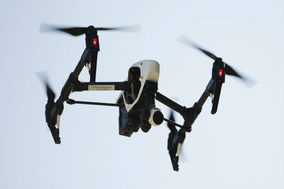
Experts from the Survey of India will map every inch using cutting-edge drone tech, producing high-resolution, tamper-proof property maps. Residents will finally receive official property cards, giving them legal proof of ownership and putting an end to endless disputes.
“This is a massive leap for transparency,” said Satish Pawar, Deputy Superintendent, Land Records.
If successful, this model could redefine urban land governance across Maharashtra. For now, Nagpur is setting the benchmark — one drone flight at a time.
👉 Click here to read the latest Gujarat news on TheLiveAhmedabad.com